Industrial Sites and Utilities:
Civil Engineering
Astra Engineering plans industrial sites and designs the grading, drainage, and underground utilities that serve them, from single process buildings to large manufacturing campuses. We lay out buildings, equipment, utilities, and traffic so they fit together before detailed design starts, and we locate existing utilities before anyone digs. Because our structural, process, mechanical, and electrical engineers work on the site together, the civil work reflects how the plant will be built, operated, and expanded.
What We Design:
Site planning and layout
Grading and drainage
Underground utilities
Subsurface utility engineering
New sites and plant expansions
Construction support
Site Planning and Layout
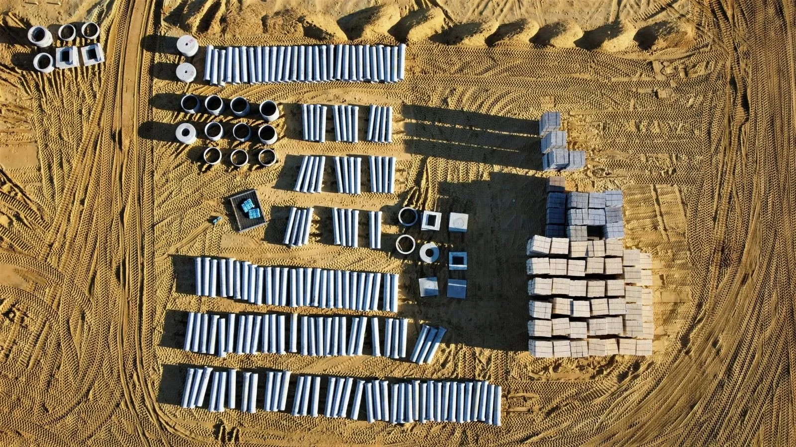
We lay out buildings, equipment, roads, parking, and utility corridors around process flow, truck and forklift traffic, maintenance access, and room to expand. Layout options are compared with your team on cost, constructability, and operations, and the selected option becomes the site plan the detailed design follows.
What you get
Site layout options and comparison
Building and equipment placement
Truck, forklift, and equipment traffic routes
Utility corridors and room for expansion
Grading and Drainage
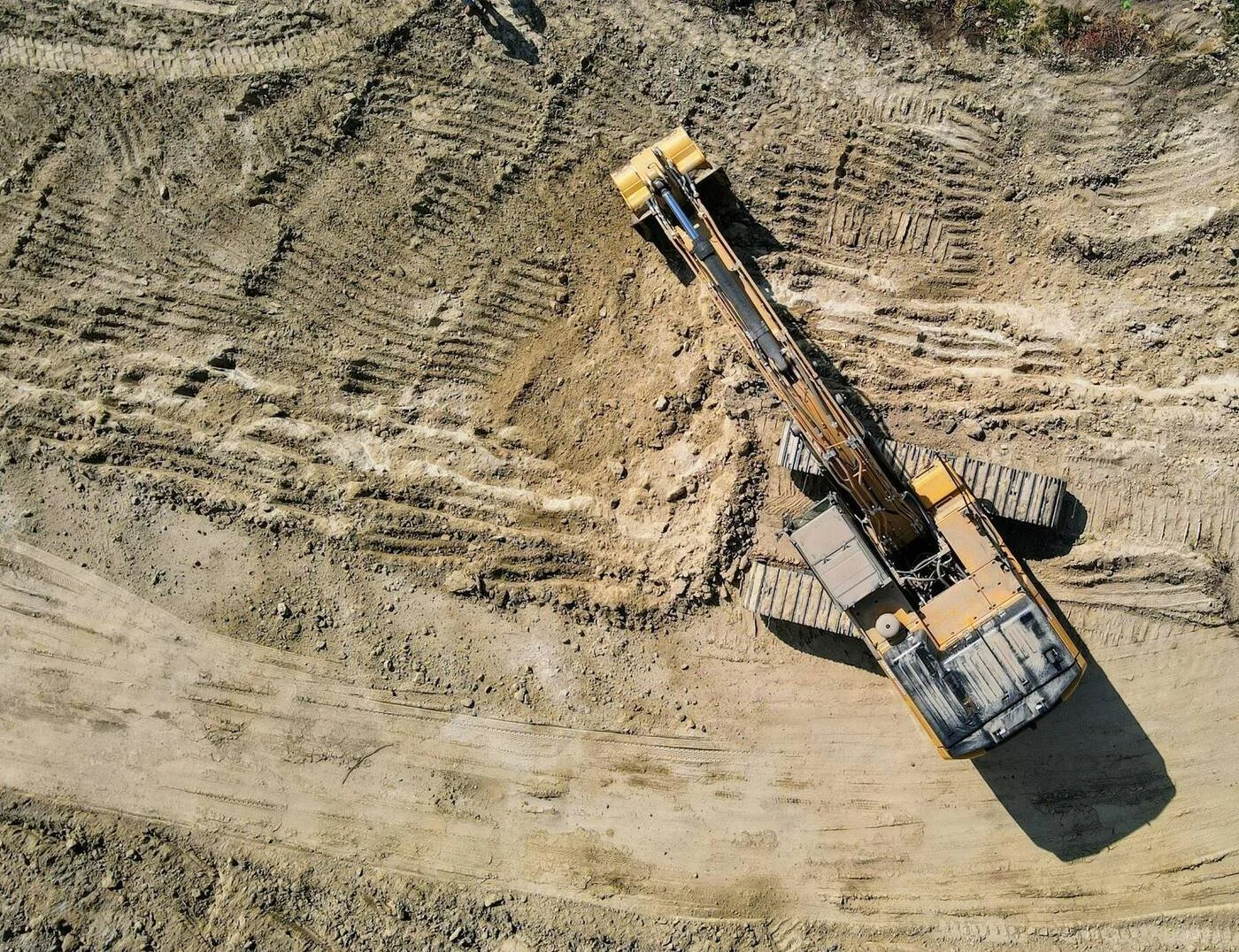
We design site grading and storm drainage to protect buildings and equipment, keep traffic moving, and meet local stormwater requirements. Design starts from the survey and the geotechnical report so it reflects actual site conditions.
What you get
Site grading plans
Storm drainage design
Stormwater management to local requirements
Erosion and sediment control plans

Underground Utilities
We design underground water, wastewater, process chemical, and power utilities alongside the buildings they serve, which avoids conflicts that are expensive to fix once construction starts. Crossings with existing utilities and new structures are coordinated in the shared model.
What you get
Water, wastewater, and process chemical piping
Underground power and communications duct banks
Utility trench design
Crossing and conflict coordination in the model

Subsurface Utility Engineering
We locate and map existing underground utilities before design is final, following the ASCE quality levels for subsurface utility engineering. Records research, ground penetrating radar, and electromagnetic locating are combined into a utility map that the design is built on, with test holes where a location has to be verified.
What you get
Records research and utility mapping
Designating with ground penetrating radar and electromagnetic locating
Test hole verification where needed
Utility data brought into the civil and site models
New Sites and Plant Expansions
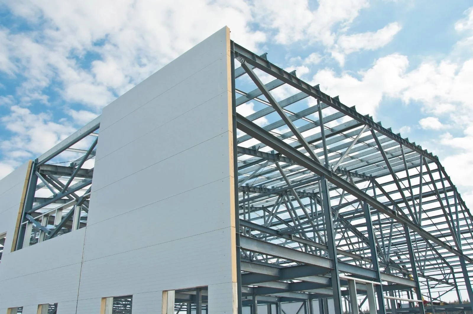
For new facilities, we take the site from an empty parcel to a coordinated layout, grading, and utility design. For expansions, we laser scan the existing facility, map what is above and below ground, and plan the new work to fit around ongoing operations.
What you get
Site design for new industrial facilities
Expansion planning on crowded sites
Laser scans and utility maps of existing facilities
Phasing around operations and construction

Construction Support
We coordinate utility routes, depths, and crossings with the general contractor and the other trades so utilities can be installed in sequence with the rest of the work. We answer RFIs, review submittals, and update drawings as conditions are uncovered in the field.
What you get
Utility sequencing with the general contractor
RFI responses and submittal review
Field visits during construction
Record drawings at closeout
What You Can Expect
We start with a site visit and a review of your survey, geotechnical report, existing utility records, and production goals. We develop layout options with your team, refine the selected option into a site plan, and design the grading, drainage, and utilities around it. We deliver stamped drawings and specifications for construction and support the project through installation.
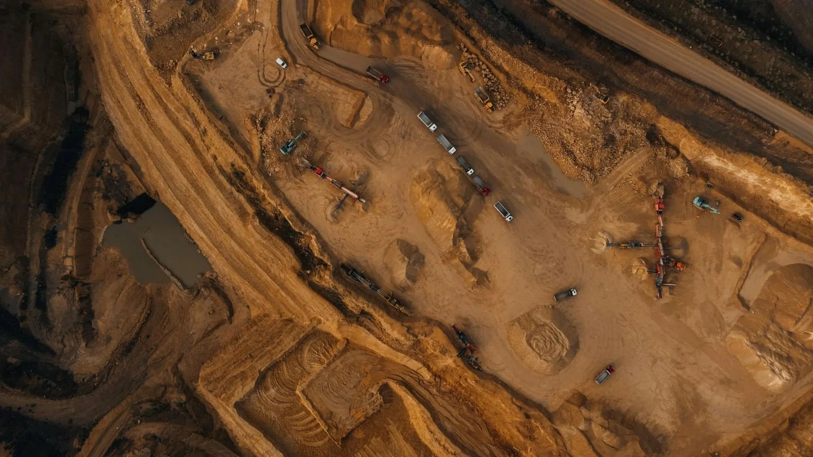
Representative Projects:
Underground utility trench design at a semiconductor manufacturing campus
Civil design for a membrane plant and DAF building expansion at a food processing facility
Site planning, grading, and drainage for industrial facilities
Frequently Asked Questions
-
We develop the arrangement of buildings, equipment, roads, parking, and utility corridors on your site, and we document it in a site plan that the detailed design follows.
-
Yes. We laser scan the existing facility, map what is above and below ground, and plan the new work to fit around ongoing operations.
-
They are needed before design is final. If you do not have current ones, we can help you scope them with a surveyor and a geotechnical firm.
-
ASCE defines four quality levels. Level D is records research, Level C adds surveyed visible features, Level B designates utilities with geophysical methods such as ground penetrating radar, and Level A verifies location and depth with test holes.
Explore Our Services