

Advanced Data Acquisition:
Terrestrial LiDAR
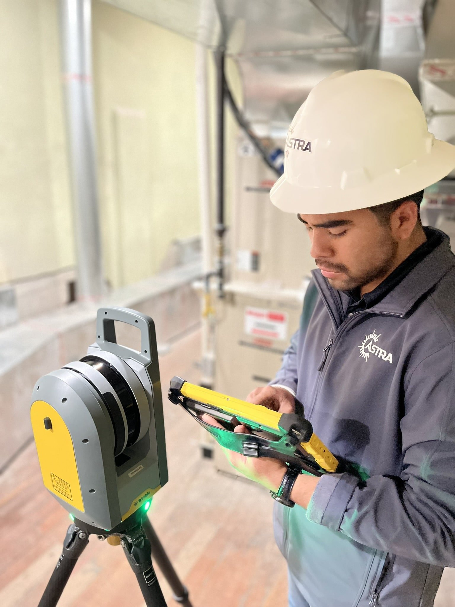
Astra employs advanced Terrestrial LiDAR technology to deliver high-precision data for a range of engineering and construction applications. Our LiDAR scanning services enable rapid data collection, detailed 3D mapping, and enhanced safety and accessibility, ensuring accurate and efficient project execution.
This technology helps reduce costs by providing highly precise data in a single scan, minimizing the need for return trips to the site. It’s accuracy allows for detailed mapping and measurements, eliminating errors that typically result in costly rework or additional visits. With this efficiency, projects can move faster, with fewer resources spent on repeated surveys, saving both time and money.
Service Benefits:
High Precision and Accuracy: Terrestrial LiDAR captures minute details with millimeter precision, providing reliable data for exact specifications and measurements.
Rapid Data Collection: Scanning large areas quickly, LiDAR reduces data acquisition time, accelerating project turnaround and enabling faster analysis and design.
Comprehensive 3D Mapping: Generates detailed 3D models for immersive site visualization, aiding in better understanding and planning.
Safety and Accessibility: Allows data collection in hazardous or hard-to-reach areas without compromising safety, reducing risk to personnel.
Versatility Across Projects: Adaptable for various applications including topographic mapping, structural analysis, and environmental assessment.
What You Can Expect
We begin with an initial consultation to understand your project needs and goals. Our team conducts the LiDAR survey, processes and analyzes the data, and provides comprehensive deliverables. Throughout the project, we ensure timely updates and support to meet your requirements and deadlines.

Highlights of Design Projects We Support:
Facility Surveys:
Detailed scans of existing buildings and industrial facilities.
Construction Monitoring:
Ongoing scans to track project progress and compare with design specifications.
Infrastructure Inspection:
High-resolution data for assessing structural integrity and planning maintenance.
Frequently Asked Questions
-
Terrestrial LiDAR (Light Detection and Ranging) is a remote sensing technology that uses laser pulses to measure distances from a ground-based platform. It captures 3D data points to create detailed models of the environment or structures.
-
Terrestrial LiDAR is used for topographic mapping, structural analysis, construction monitoring, infrastructure inspection, and as-built documentation, providing precise data for designing, planning, and managing projects.
-
Terrestrial LiDAR provides millimeter to centimeter precision, often surpassing traditional methods, especially in complex environments where manual measurements might be difficult.
-
The benefits include increased efficiency, enhanced accuracy, and detailed 3D visualization, which aids in better decision-making, reduces manual measurement errors, and speeds up project planning.
-
LiDAR data integrates into BIM to create accurate 3D models of existing or new structures, facilitating better coordination, identifying potential issues early, and improving overall project efficiency.